BMW Maps Brings Navigation and Driver Assistance Together in a New 3D View

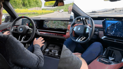
BMW is preparing to make in-car navigation considerably more intelligent by bringing navigation, vehicle surroundings and driver-assistance information together in one 3D display.
Beginning in October 2026, the new BMW Maps functionality will be introduced for compatible BMW vehicles equipped with BMW Operating System X. Instead of treating navigation and assistance systems as separate functions, BMW’s new interface allows drivers to see how the two technologies work together in real time.
For the latest developments in connected vehicles and automotive technology, readers can follow Carbook Magazine, where software is increasingly becoming as important to new vehicles as traditional mechanical engineering.
Everything in One 3D View
The key innovation is the integrated visualisation.
BMW Maps can display the driver’s own vehicle precisely within its lane and at the appropriate road level, alongside route guidance and information from the vehicle’s driver-assistance systems.
That means drivers can see not only where they need to go next, but also how the vehicle is interpreting its surroundings and which assistance functions are currently supporting the driving task. BMW says this should improve orientation on highways, at intersections and in complicated urban traffic situations.
Navigation Meets Assisted Driving
The technology becomes particularly relevant when BMW’s more advanced assistance systems are active.
BMW says its Highway Assistant can support hands-free assisted driving on highways at speeds of up to 130 km/h, where legally and technically available. The system can manage longitudinal and lateral vehicle movement and support automated lane changes following confirmation from the driver. Availability and functionality vary according to country and road.
Combining this information with active BMW Maps route guidance means the driver receives a much clearer representation of what the vehicle is doing and why.
Developed with Mapbox Technology
BMW developed the new Maps feature in-house while using navigation data and mapping technology from Mapbox.
The system combines precise mapping, vehicle sensors and intelligent software to create a more comprehensive representation of the road environment.
It is another example of the industry’s transition towards the software-defined vehicle, where improvements to the user experience increasingly come through digital platforms, computing architecture and software rather than mechanical changes alone.
BMW Maps with Driver Assistance will initially be available only with Highway Assistant or Highway & City Assistant in selected markets, cities and roads, with the rollout taking place in phases.
For drivers, the real benefit is simplicity: instead of interpreting several different displays and systems, relevant navigation and assistance information can appear together in a single visual environment.
Readers can see the official BMW Maps announcement and follow Carbook Magazine for the latest automotive technology, new-car features and industry developments.